
Service
Aerial Mapping
Orthomosaics, site models, and measurable survey data.
Overview
What You Get
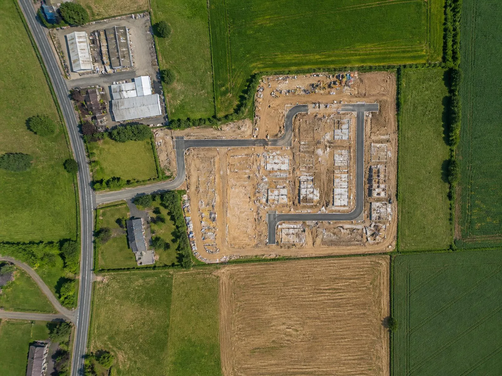
Orthomosaic maps, elevation models, and volumetric measurements for land, construction, and development sites. Flight grids are flown at consistent altitude and overlap so the output is measurable, not just pretty.
- Orthomosaic site maps
- Elevation & contour models
- Volumetric stockpile measurement
- Progress comparison over time
Deliverables
- Georeferenced orthomosaic
- Elevation model
- Measurement report
Method
How This Service Runs
01
Consult
Define boundary, resolution, and output format.
02
Flight Plan
Automated grid with fixed altitude and overlap.
03
Capture
Systematic passes with ground reference points.
04
Deliver
Processed map data in your preferred format.
Also Available
Related Services
Ready to get eyes in the air?
Tell us about the site and the shot. We'll handle airspace, weather, and delivery — Middletown, CT and the surrounding area.