
Capabilities
Aerial Services
Videography, inspections, and mapping — with thermal capabilities coming soon.
Aerial Videography
Cinematic aerial footage, stabilized and colour-graded.
ExploreDrone Inspections
Close-range visual inspection without lifts or ladders.
ExploreAerial Mapping
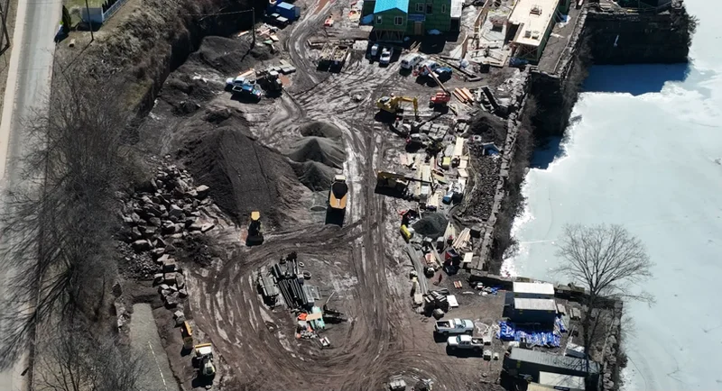
Orthomosaics, site models, and measurable survey data.
ExploreThermal Capabilities
Launching soon — ask us about early availability.
Every Job
The Flight Process
Consult
We scope the job — objective, site, airspace, and deliverable format.
Flight Plan
Weather window, LAANC authorization where needed, and a written safety brief.
Capture
Stabilized, gimbal-smooth passes with redundant coverage on every pass.
Deliver
Edited, organized, measurable output — delivered on schedule.
Questions
Frequently Asked
Yes — flights are conducted under FAA Part 107 commercial certification with commercial liability insurance. Certificate and policy documentation is available on request.
We are based in Middletown, CT and regularly fly across Middlesex County and the surrounding Connecticut towns — Middletown, Cromwell, East Hampton, Glastonbury, Colchester, and beyond.
Standard turnaround is 3–5 business days for edited video and 48 hours for inspection image packages. Rush delivery is available on request.
Safety and image quality come first. If conditions fall outside safe or usable limits we reschedule at no cost to you.
Often yes. We run an airspace check before every job and file LAANC authorization where required.
Thermal capabilities are coming soon. Reach out and we'll let you know as soon as they're available.
Ready to get eyes in the air?
Tell us about the site and the shot. We'll handle airspace, weather, and delivery — Middletown, CT and the surrounding area.